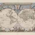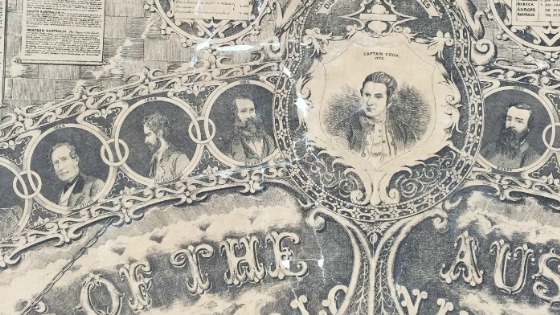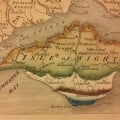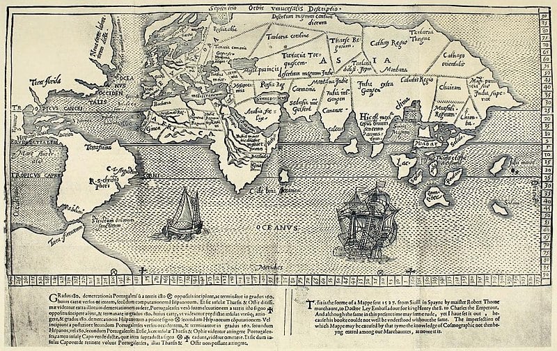
Exploring the world in Western History: the Hakluyt Society and other exploration resources
Ask a librarian, Collection spotlights:
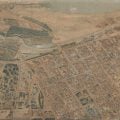
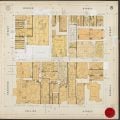
Embark on a journey through remarkable voyages with the State Library’s collection of print and electronic resources detailing first-hand accounts of historic exploration.