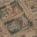
1866 in 3D: the isometrical plan of Melbourne & suburbs
Ask a librarian, Collection spotlights, Victorian history:
Sometimes called ‘bird’s eye view’ maps, isometric maps depict a view ‘from above’. This plan, produced in 1866, shows a remarkable point-in-time layout of Melbourne streets, the Yarra, Port Phillip Bay, and parts of Collingwood and East Melbourne. A closer examination reveals some of the fledging city’s most important social, economic and civic locations and buildings, as well as parks and reserves, including many which remain today.


