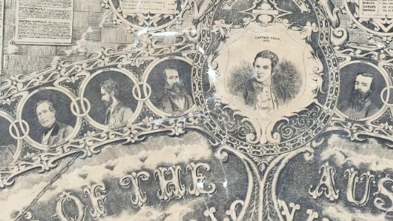
Meek’s Atlas: The story of a 155 year old oversized map
In late 2015, thirteen uncatalogued oversized maps and charts held in the Library’s Maps Collection were prioritised for treatment during a routine collection survey. Further investigation revealed two significant 1862 photolithographs of the 1861 oversized pen-and-ink drawing Meek’s Atlas of the British Colonies in Continental and Insular Australia.