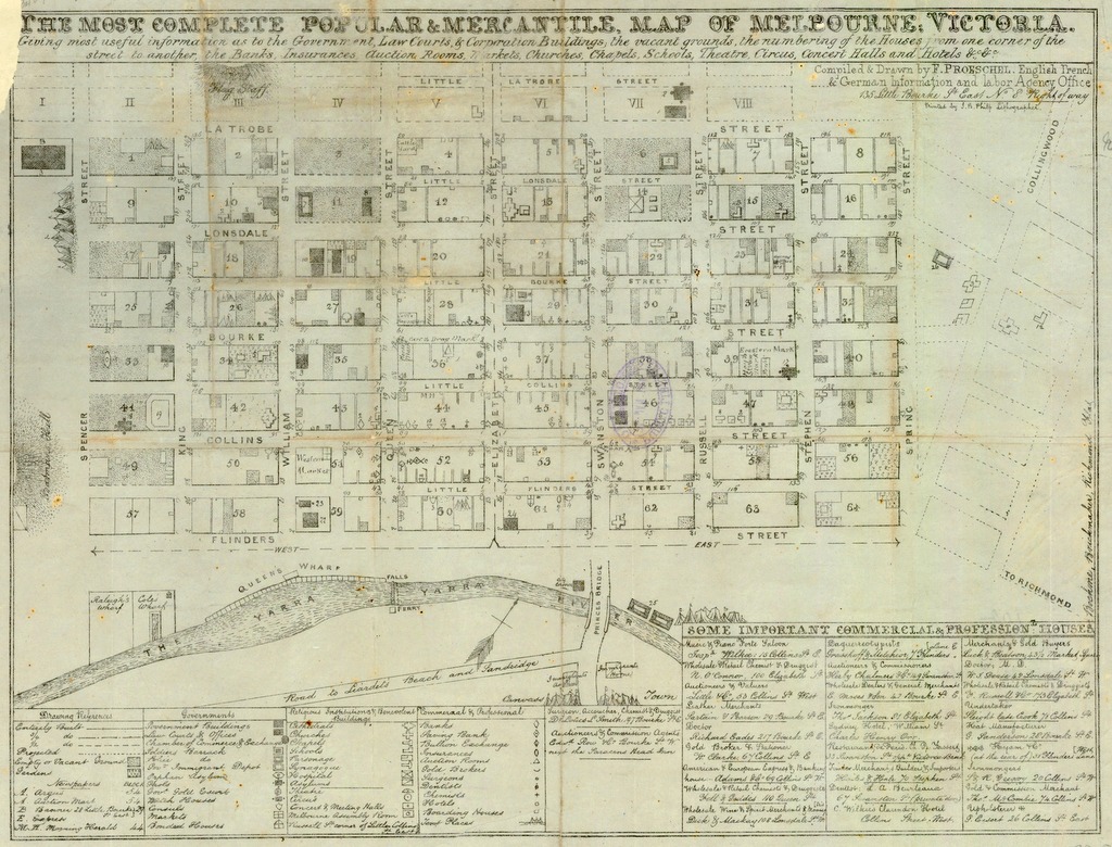
The most complete popular & mercantile map of Melbourne, Victoria was produced by Frederick Proeschel in the early 1850s. Proeschel describes the map as ‘giving most useful information as to the government, law courts & corporation buildings, the vacant grounds, the numbering of the houses from one corner of the street to another, the banks, insurances, auction rooms, markets, churches, chapels, schools, theatre, circus, concert halls and hotels’. You can view and download a detailed copy of the map online.
Proeschel was born in France and arrived in Melbourne in 1852. He remained in Victoria for eleven years and enjoyed significant success as the only private map publisher in the colony. He was fluent in three languages and set up an English, French & German Information and Labor Agency Office at 135 Little Bourke Street.
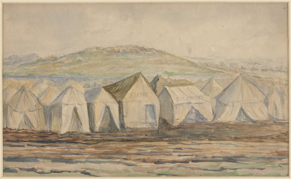
Merchant trading at this time was experiencing a boom, due to momentous events such as separation from New South Wales, and wealth pouring into the city from the gold rush. Population growth soared, resulting in rapid changes to the look and feel of the fledgling city. An 1852 population of 77,000 swelled with more than 270,000 immigrants by the end of 1854. Melbourne struggled to accommodate the influx of new arrivals, and many people had to be housed in tents. This new ‘canvas town’ is noted on the map, on the south side of the river.
Canvas town, South Melbourne, H13592
There is a handy key at the bottom of the map describing use of land and building type. Our top pick for a night out on the town would definitely have been the Music and Pianoforte Saloon, located at 15 Collins Street East. It’s the first establishment listed under ‘Some important commercial & professional houses’ at the bottom right of the map.
If you’re interested in exploring more of the Library’s maps collection, our Maps for local history research guide will point you in the right direction.
Written by Sarah Ryan
Librarian, Australian History & Literature Team


