Online Collection Spotlight: Nineteenth Century Collections Online
Ask a librarian, Collection spotlights, Our stories:
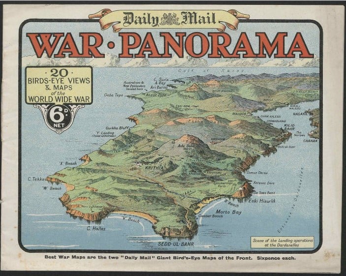
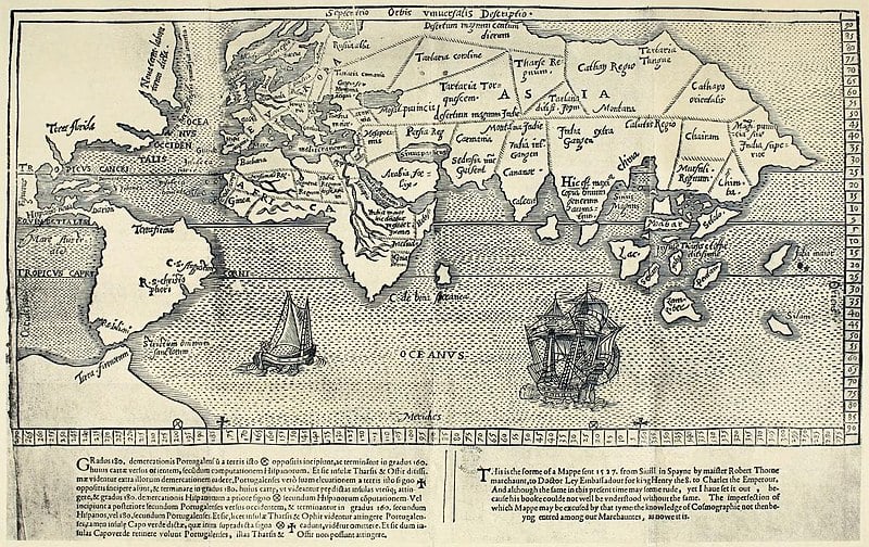
Join us as we take a look at the Nineteenth Century Collections Online, a rich database consisting of seven separate subject areas, all linked by their focus on the 19th century.