From Melbourne to the stars: 5 great maps from our collection
We have well over 110,000 maps in our collection— enough to carpet metropolitan Melbourne. Here are five highlights.

We have well over 110,000 maps in our collection— enough to carpet metropolitan Melbourne. Here are five highlights.
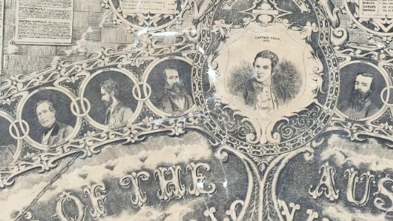
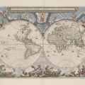
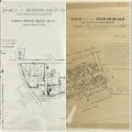
In late 2015, thirteen uncatalogued oversized maps and charts held in the Library’s Maps Collection were prioritised for treatment during a routine collection survey. Further investigation revealed two significant 1862 photolithographs of the 1861 oversized pen-and-ink drawing Meek’s Atlas of the British Colonies in Continental and Insular Australia.
News:
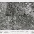
These photographs are part of the State Aerial Survey that was produced by the Department of Crown Lands & Survey between 1945-1965.
People & professions, Such was life:
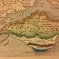
This year marks the bicentenary of the publication of the first geological map of England and Wales, laying the foundations for geological surveys across the world.
News:
570 Ballarat mining maps, dated between 1870–1890 (approx), are now available to search and view online using our catalogue.
Family Matters is pleased to welcome our February guest blogger, Blair Gatehouse, Digital Resources Graduate. While maps may not be the first resource that spring to mind when investigating your… Read More ›
Cities & towns, Such was life:
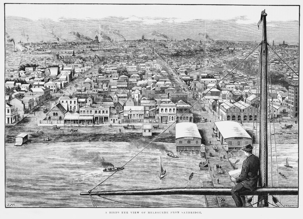
The bird’s-eye view is a representation of a city from above and was popular during the late nineteenth and early twentieth centuries. It can be an aerial photograph or a… Read More ›
Buildings & streets, Such was life:
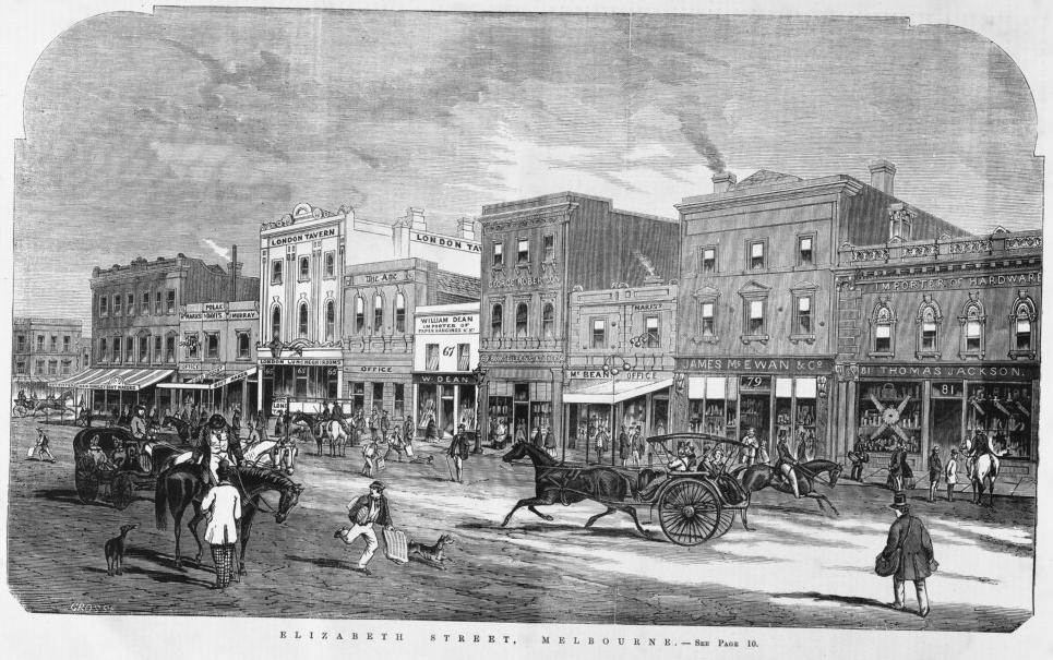
In 1887, Melbourne City Council ordered the renumbering of properties across the city to make houses and businesses easier to find.
Cities & towns, Such was life:
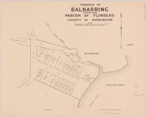
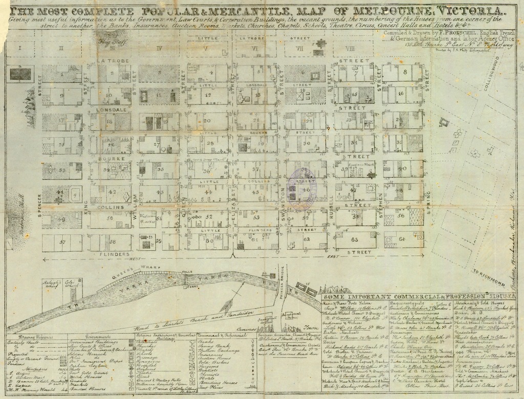
The most complete popular & mercantile map of Melbourne, Victoria was produced by Frederick Proeschel in the early 1850s. Proeschel describes the map as ‘giving most useful information as to… Read More ›
Family history events, Family matters, Research tips & tricks:
National Trust researchers have found the State Library of Victoria to be an invaluable repository over the years. During Heritage Week, I am happy to share my tips on how… Read More ›